
Colorado’s mountains face their first significant snow of the season this week. Hurricane Polo’s moisture is fueling the system.
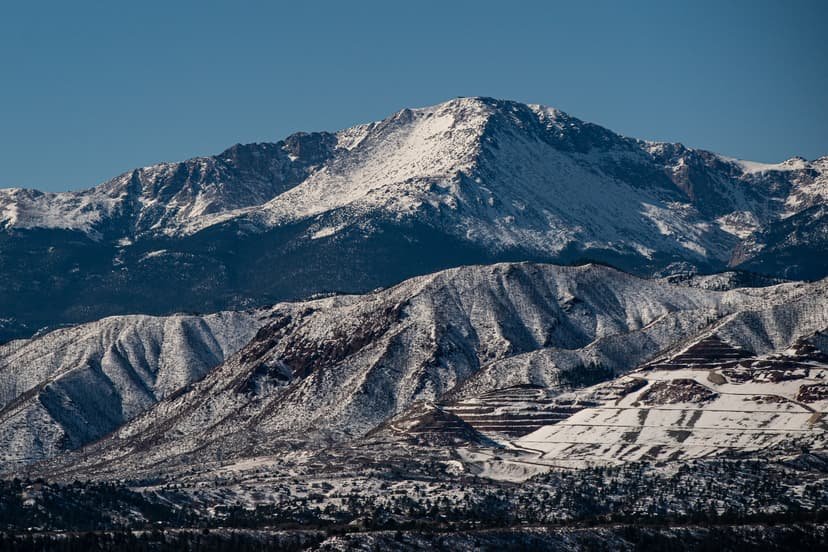
Parts of Colorado’s high country are bracing for the season’s first significant snowfall this week, with the National Weather Service forecasting up to 8 inches in isolated areas through Thursday morning as moisture from Hurricane Polo feeds into the storm system. The National Weather Service’s Pueblo office issued its high-end snowfall map Monday, showing 6 to 8 inches possible in two pockets of the Sangre de Cristo Mountains near Westcliffe and south of La Veta Pass toward Trinidad, though the office’s more likely-range forecast keeps most of the same areas under 2 inches, with heavier totals concentrated closer to 3 inches in those same zones.
Most of the rest of Colorado’s high terrain, including the Sawatch Range near Leadville and Buena Vista, the San Juans around Lake City and Wolf Creek Pass, and Pikes Peak, is forecast to see between 1 and 4 inches. The Weather Service’s earlier Hazardous Weather Outlook had framed the storm more modestly, with snow levels staying high through Monday night and only an inch or two expected above 12,000 feet. Denver-based meteorologist Chris Bianchi of 9NEWS said snow could reach elevations around 10,000 feet in the Colorado mountains, about 2,000 feet lower than the official Weather Service forecast, while Denver and communities along the Front Range are more likely to see periods of rain than snow.
The storm’s complexity stems from two weather systems converging over the state. Bianchi said a trough of low pressure moving south from the north is interacting with moisture pulled north from Hurricane Polo, which has been churning as a major hurricane off Mexico’s Pacific coast, adding to rainfall across Colorado’s eastern plains Monday night into Tuesday. The system also carries the potential to bring the region’s lowest temperatures of the season so far. Colorado’s mountains had already seen early snow this month, with flakes reported on Pikes Peak, Torreys Peak, Uncompahgre Peak and Mount Massive, and ski resorts including Telluride, Wolf Creek, Breckenridge and Arapahoe Basin reporting early-season dustings in the weeks prior.
For drivers, icy conditions are most likely to develop overnight, when wet snow on pavement can freeze, particularly along mountain passes including Monarch, Wolf Creek and La Veta. Colorado’s Passenger Vehicle Traction Law, in its seasonal window on Interstate 70 between Dotsero and Morrison since Sept. 1, requires tires with at least 3/16 of an inch of tread and a mountain-snowflake, mud-and-snow or all-weather rating unless a vehicle carries chains or an approved alternative. The state’s transportation department can extend those requirements to other highways during storms, with violations carrying fines starting at $100.
Sources: This report is based on information from Autoblog, Men’s Journal and 9NEWS, citing the National Weather Service.